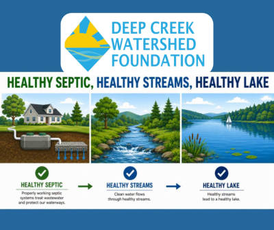
Watershed Management

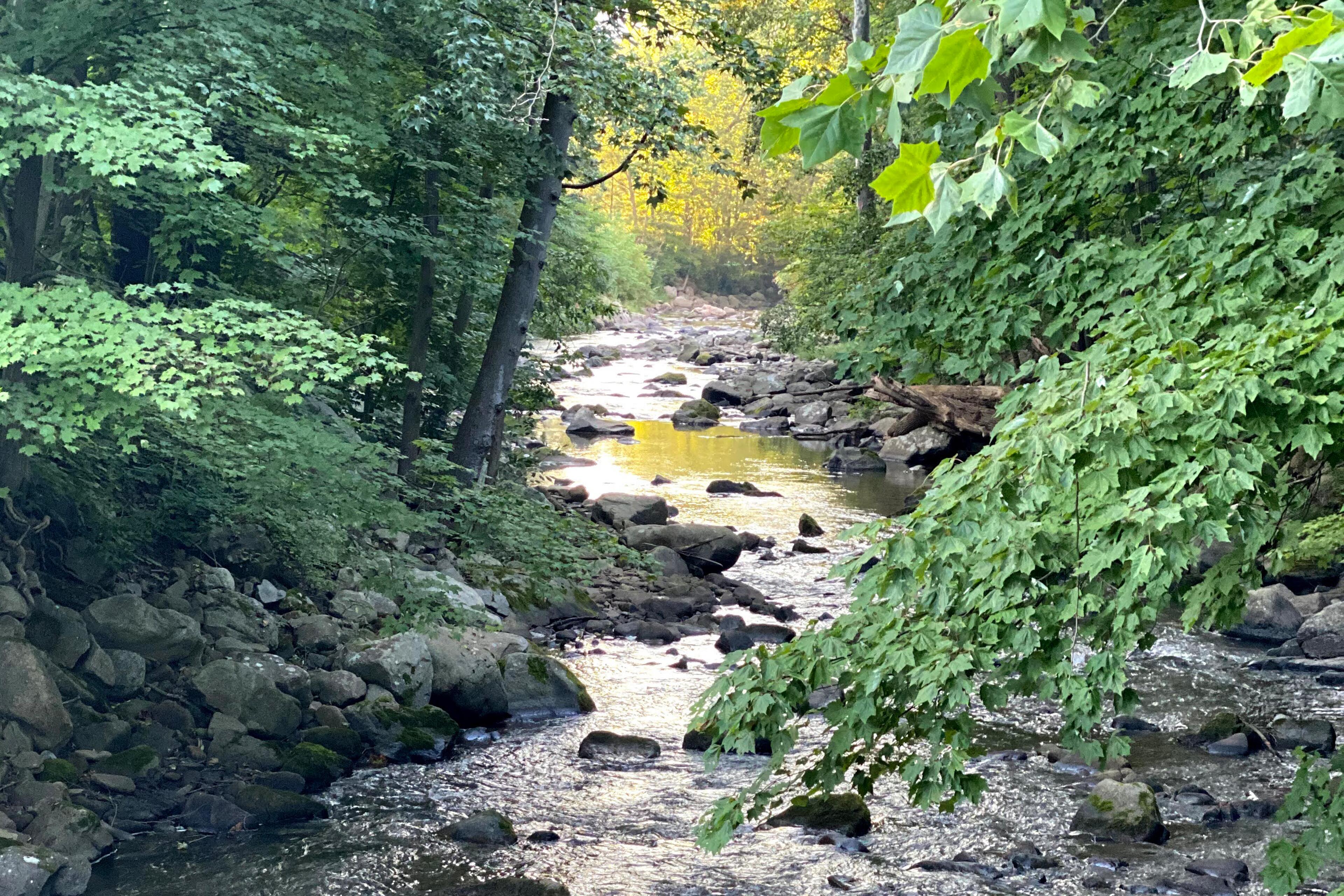
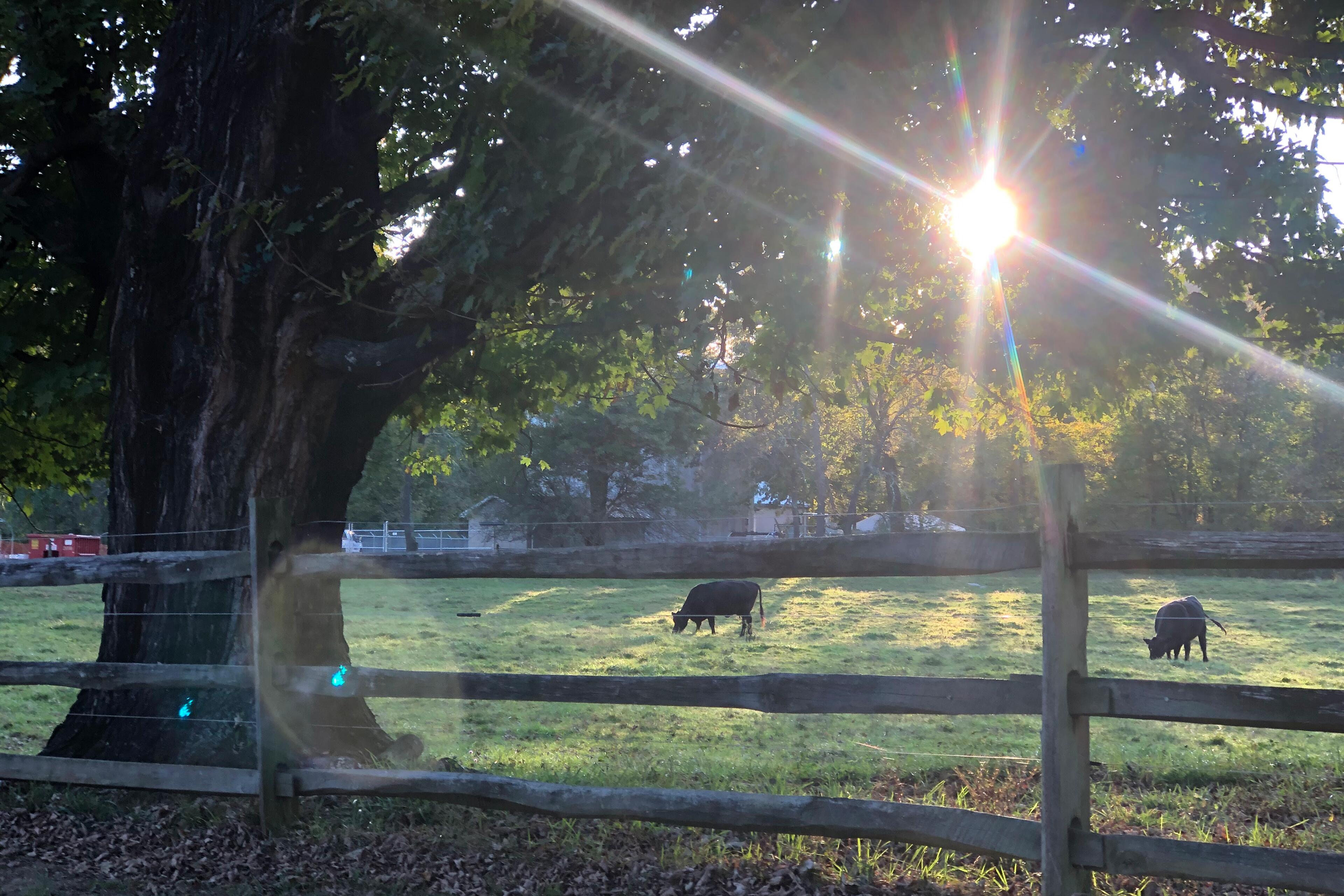
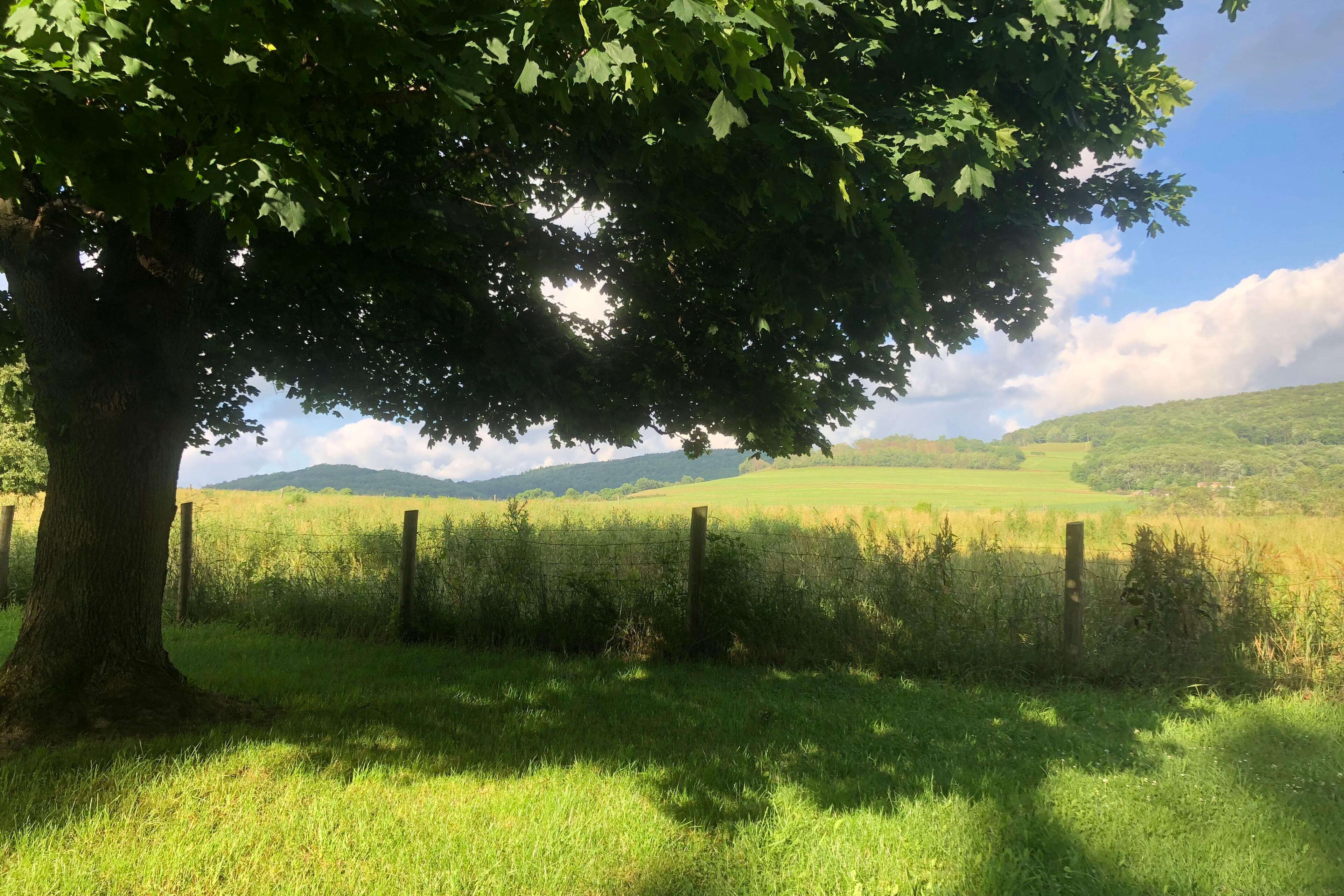
A watershed is the land area where all rain, melting snow, and runoff drain downhill to the same place such as a stream, river, lake, or reservoir.

No matter where you live, work, or recreate, you are always in a watershed. Water flowing off rooftops, roads, yards, farms, and forests all moves through the watershed before reaching local streams and eventually larger rivers.

What happens on the land directly affects the quality of the water downstream.

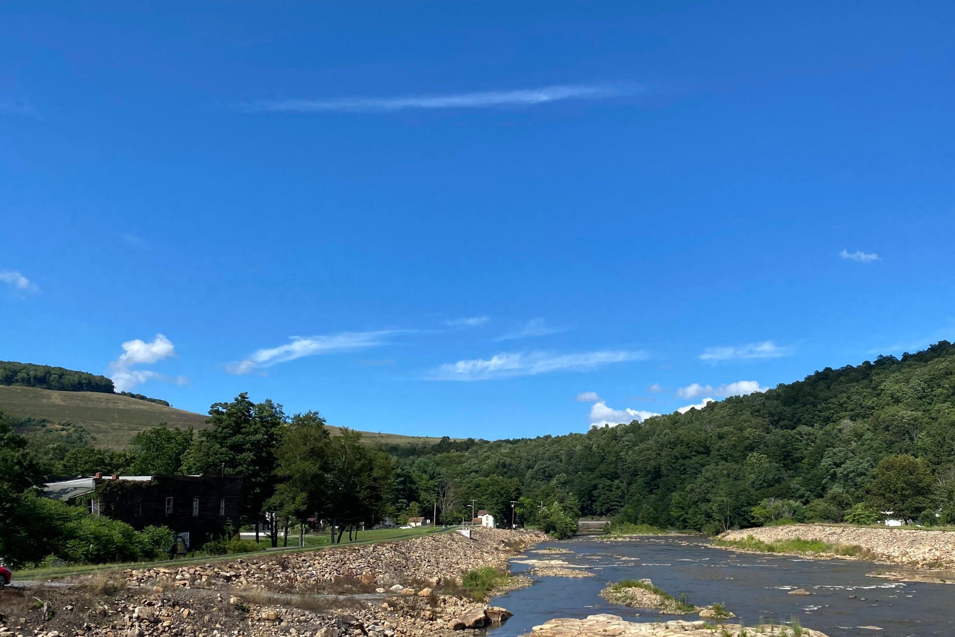
Garrett County has two major watersheds – the Youghiogheny and the North Branch Potomac River watersheds.

Explore the watersheds of Garrett County with this map available on the Garrett County Public GIS portal


Why Watersheds Matter to Residents and Visitors

Understanding watersheds helps people see how individual actions can affect:

  • Drinking water quality

  • Property values

  • Flooding and erosion risks

  • Fishing, boating, and swimming

  • Long-term lake and stream health

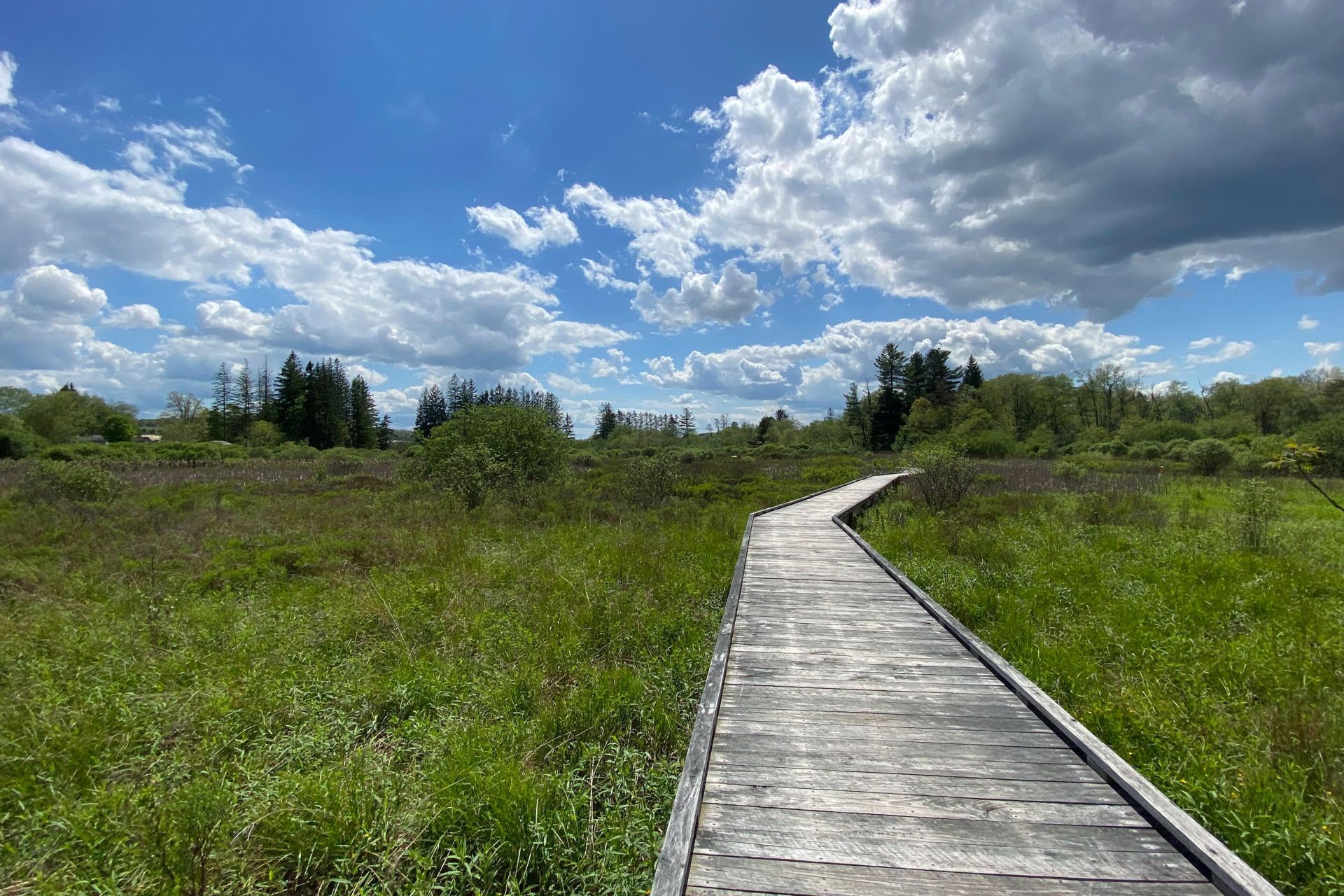
For visitors, watersheds shape the outdoor experiences Garrett County is known for such as clean lakes, trout streams, scenic rivers, and public lands. Protecting watersheds helps ensure these resources remain healthy and enjoyable for everyone.

Casselman River

Site Location
Grantsville
Precipitation, total, inches
0.00
Discharge, cubic ft/s
547
Gage height, ft
2.64
Stream water level elevation above NAVD 1988, in ft
2091.30
Updated
03/05/26 5:30 pm

Deep Creek Lake

Site Location
Thayerville
Temp, °F
40.1
Elevation of reservoir above datum, ft
2458.50
Lake elevation above NAVD 1988, ft
2460.32
Updated
03/05/26 6:00 pm

North Brand Potomac River

Site Location
Steyer
Kitzmiller
Discharge, cubic ft/s
572
1070
Gage height, ft
3.73
4.39
Stream water level elevation above NAVD 1988, in ft
2279.29
1576.12
Updated
03/05/26 6:15 pm
03/05/26 6:15 pm

Savage River

Site Location
Barton
Bloomington
Temp, °F
42.98
N/A
Discharge, cubic ft/s
137
N/A
Gage height, ft
1.83
N/A
Precipitation, total, inches
N/A
0.00
Reservoir storage, acre-ft
N/A
11110
Elevation of reservoir above datum, ft
N/A
1441.92
Lake elevation above NAVD 1988, ft
N/A
1442.12
Updated
03/05/26 6:15 pm
03/05/26 6:00 pm

Youghiogheny River

Site Location
Oakland
Mchenry
Friendsville
Precipitation, total, inches
0.04
0.00
N/A
Discharge, cubic ft/s
1260
1740
2200
Gage height, ft
4.38
4.53
4.34
Stream water level elevation above NAVD 1988, in ft
2357.47
2022.00
1491.15
Temp, °F
N/A
N/A
45.68
Updated
03/05/26 6:15 pm
03/05/26 5:45 pm
03/05/26 5:45 pm